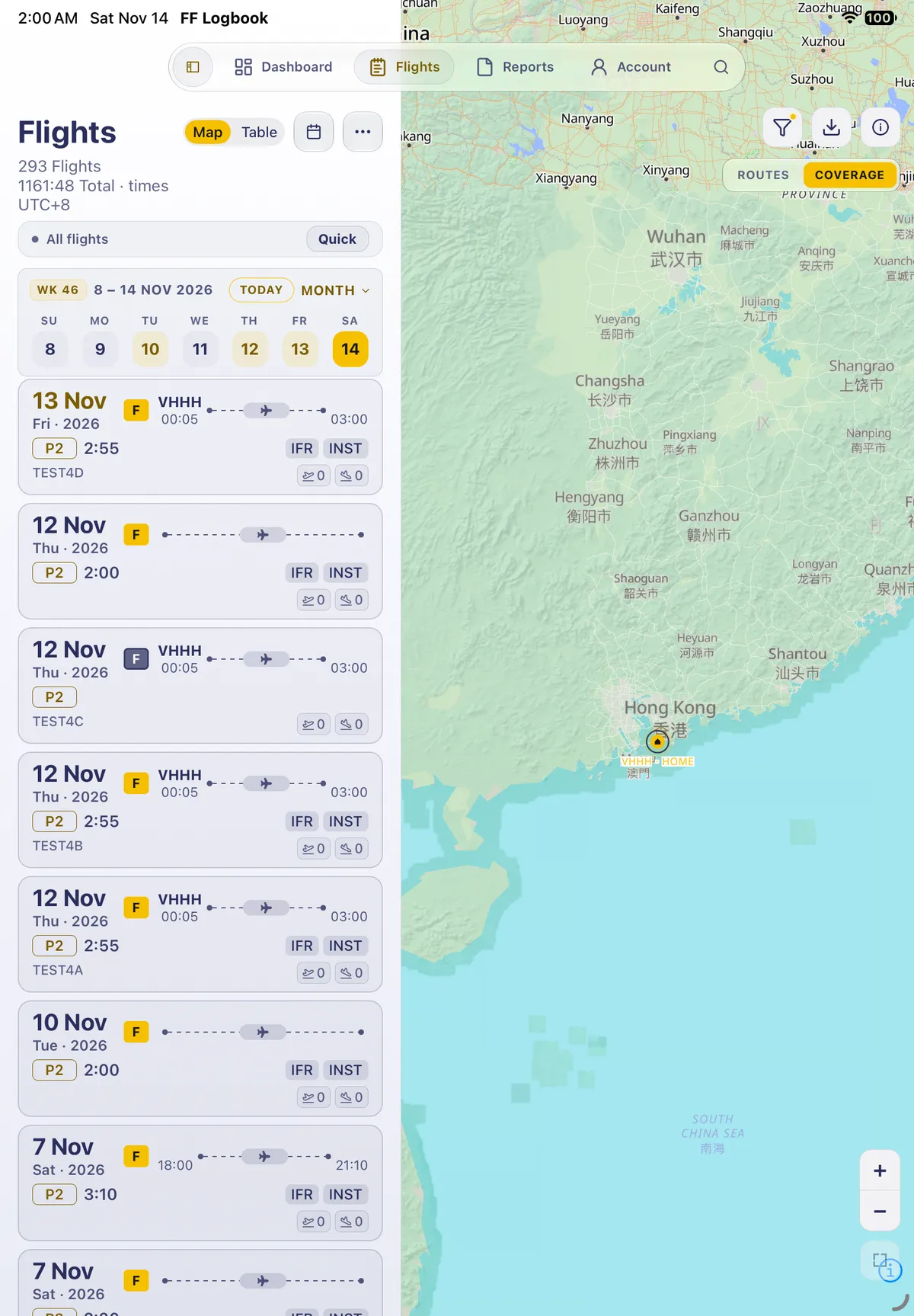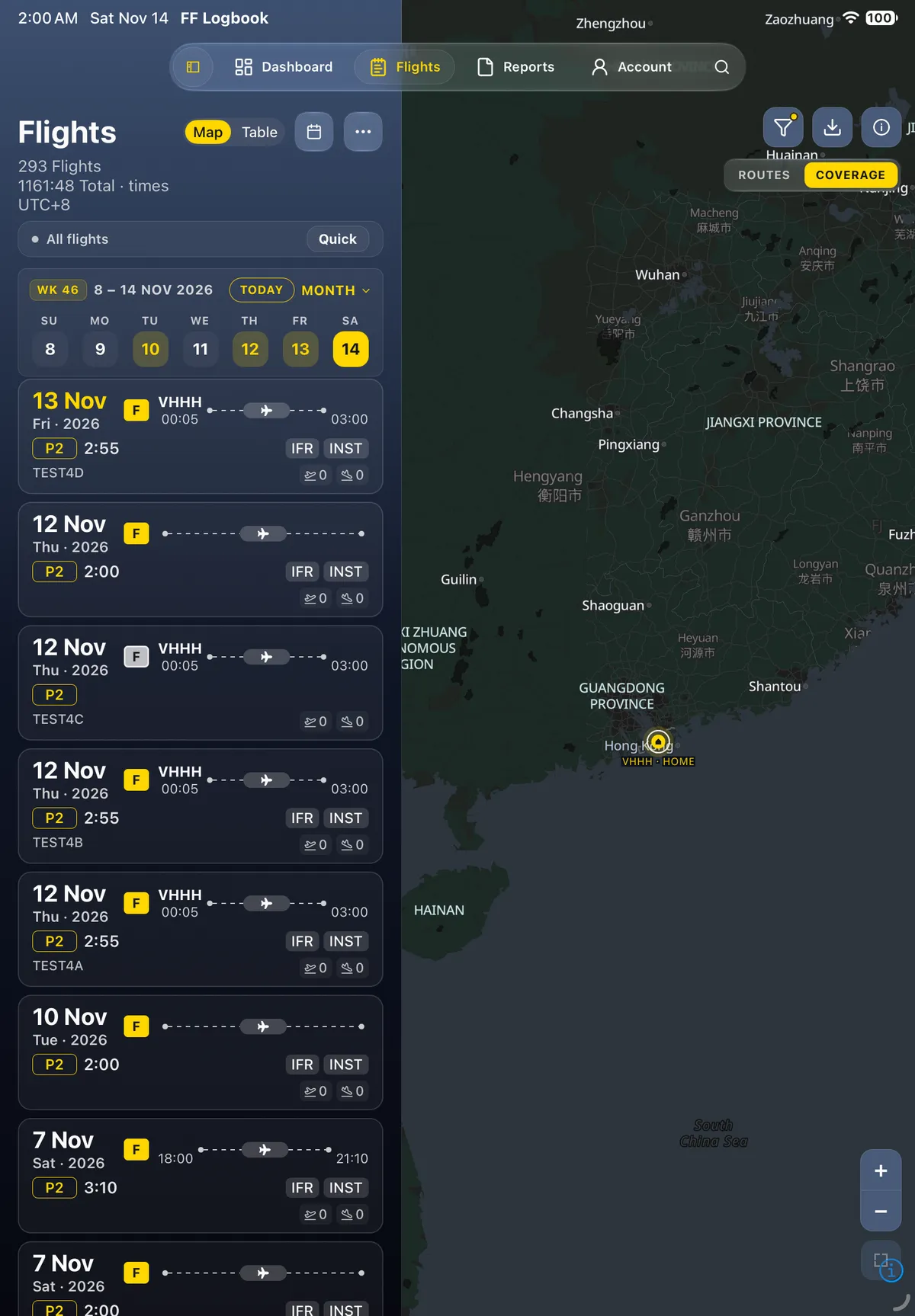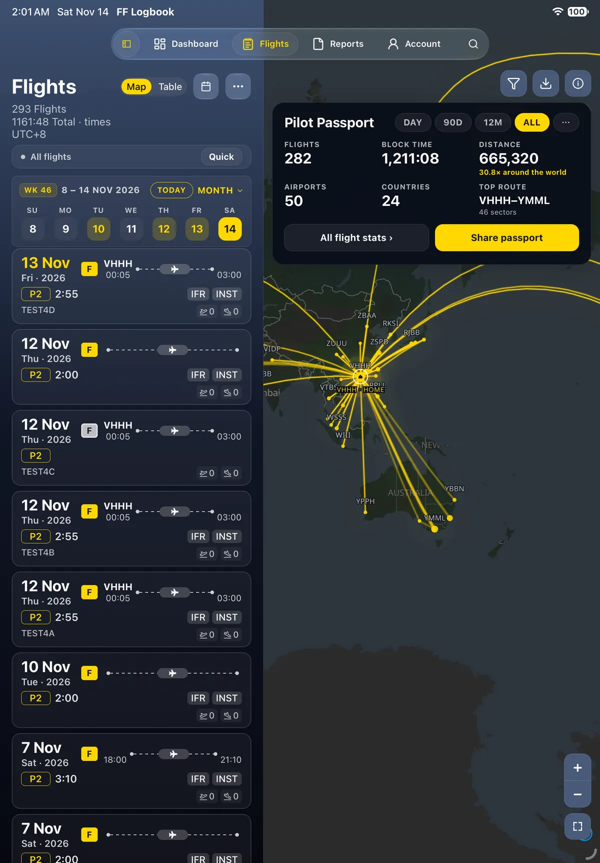
See your flying on the map
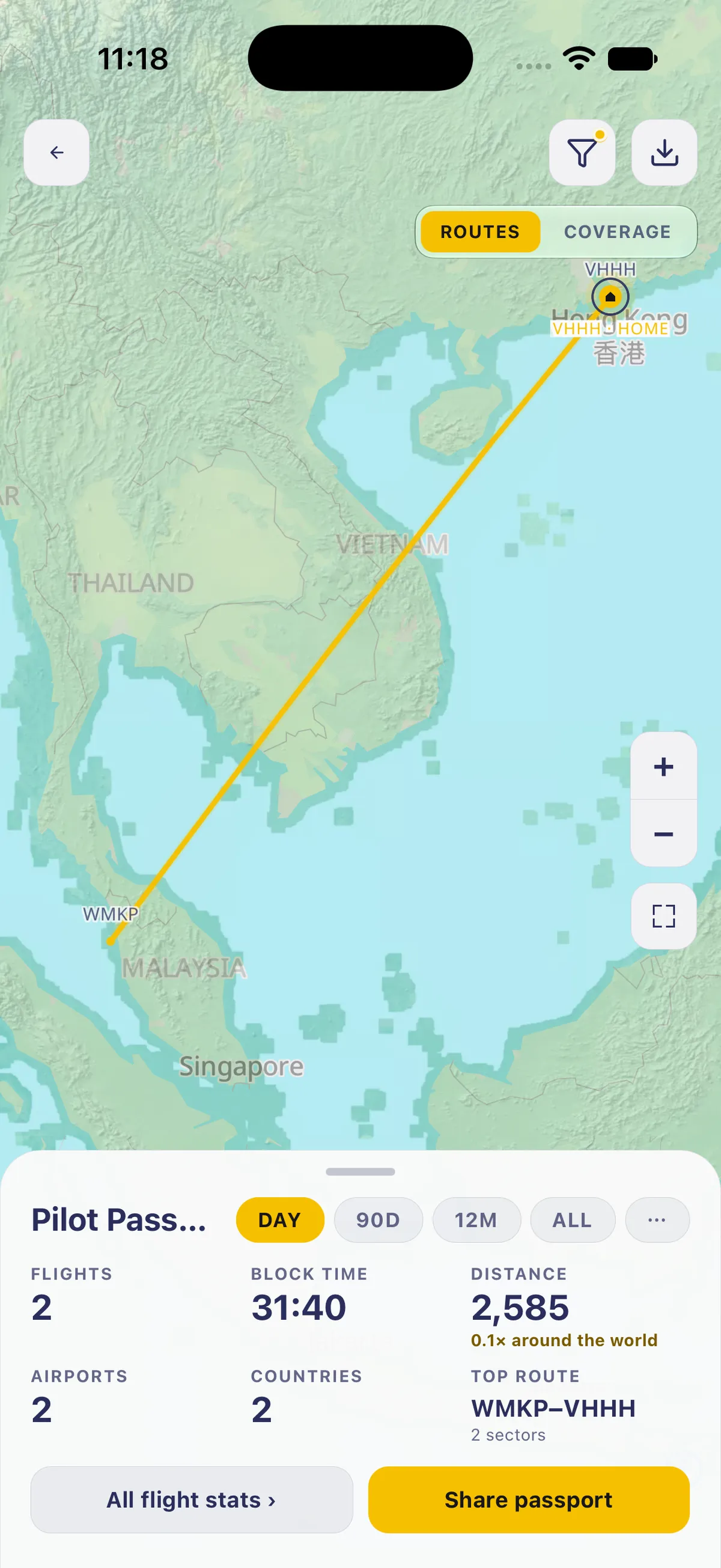
- Open Flights and tap the map button at the top right. The map opens on Routes, with your home base marked HOME.
- Routes draws each flight as a line. The Pilot Passport sheet below shows Flights, Block time, Distance, Airports, Countries and Top route for the range you pick: Day (your latest day of flying), 90D, 12M or All.
- Tap Coverage. The map shows each airport you visited as a dot (bigger dot, more visits), and the sheet lists visits by country with flags, for the same range (Coverage — 2 airports). If the range has no flights, it reads No airports in this period yet — your home base is still on the map: pick a longer range.

- All flight stats opens Reports → Summary. Share passport and Share as passport card (Stats stamped on the snapshot — not a bare screenshot) make a picture to share.
The filter button at the top limits the map to some flights, and the download button saves the map for offline use. The basemap works offline and shows place names in Latin script first.
On iPad
Section titled “On iPad”On iPad the map fills the right of the Flights screen beside the list (Map / Table). Routes / Coverage sit at the top right of the map, and the Pilot Passport opens as a popover from the ⓘ button rather than a bottom sheet.